Navigating with confidence – the role of LINZ
In New Zealand, the responsibility for producing official nautical charts falls to Land Information New Zealand (LINZ).
Their hydrographic office compiles and maintains the definitive record of our coasts, harbours, channels, and offshore hazards. Whether you’re navigating to Great Barrier Island for the weekend or running a fishing charter off Fiordland, LINZ charts are the legal standard.
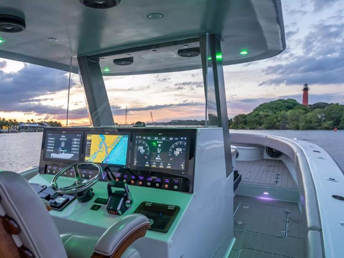
While most boaties now use a mix of mobile apps and chartplotters, these official charts remain the underlying reference. In fact, commercial operators are required by Maritime NZ to carry them in some form — paper or approved digital. For recreational skippers, they are an unbeatable backup, especially in remote waters.
Chart formats explained – RNCs and ENCs
LINZ offers two main types of digital chart:
Raster Nautical Charts (RNCs) – These .kap files are digital scans of the official paper charts. They look exactly like the chart you’d buy at a chandlery, complete with the same symbols and colour schemes. The main advantage is familiarity — if you can read a paper chart, you can read an RNC. The downside is that zooming in won’t reveal extra detail; the resolution is fixed.
Electronic Navigational Charts (ENCs) – These .000 files are vector charts. Instead of being a fixed image, every line, symbol, and depth contour is stored as data. This allows you to zoom in without losing clarity, toggle layers on and off, and run advanced navigation features such as automatic route checking. ENCs are the standard in commercial ECDIS systems and are increasingly popular with recreational skippers running PC-based charting.
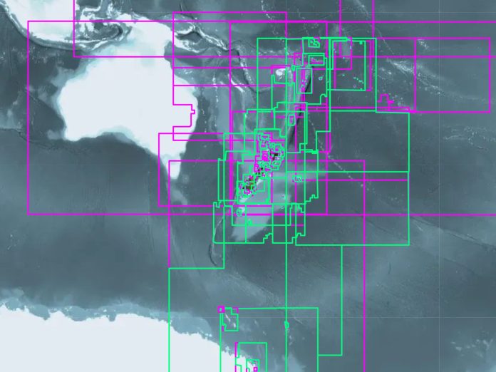
Both formats cover the entire New Zealand coastline, offshore islands like the Chathams, and our subantarctic territories.
Getting the charts – download and setup
LINZ makes the entire chart catalogue available for free at charts.linz.govt.nz. You can download a single harbour chart for a quick trip or grab the complete NZ dataset in one go. Files are provided as zipped downloads — simply extract them to a folder on your computer or tablet.
To use them, you’ll need compatible software. OpenCPN (free and open-source) is a favourite among Kiwi cruisers. It runs on Windows, macOS, Linux, Android, and even Raspberry Pi, and can handle both RNC and ENC files. TimeZero is a commercial option, offering high-end route planning, weather routing, and integration with Furuno radar and sonar systems.
Loading charts is usually a matter of pointing your software to the folder where you’ve stored them. From there, the program will index the data and display your vessel’s position on the chart when linked to a GPS.
Keeping current – weekly updates
A chart is only as good as its latest update. LINZ releases weekly corrections through its Notices to Mariners service. These cover new hazards, buoy relocations, dredged channels, and any other changes to our waters.
For ENCs, updates can often be installed directly through your navigation software. For RNCs, you may need to download the corrected chart again from LINZ. Either way, it’s worth making updates part of your regular boating routine — especially before long trips or seasonal cruising.
Official vs proprietary charts – what’s the difference?
Many boaties in New Zealand use commercial chart products like Navionics or C-Map. These often include value-added features such as crowdsourced depth soundings, satellite overlays, and route suggestions. They’re excellent tools, but it’s important to remember they are not the official chart itself.
The difference matters if you’re checking a tricky passage or responding to an emergency. LINZ charts carry official status — they’re compiled and authorised by the national hydrographer and updated according to a set schedule. Proprietary charts may not include every recent change, depending on how often the provider pushes updates.
When I first took to the water, one of the best pieces of advice I was given was this: use commercial charts for your everyday navigation, but always keep the official charts close at hand for checking and confirming your position. Many skippers run both side by side, cross-referencing to stay on the safe side.
Why it matters for Kiwi skippers
From the rocky approaches to French Pass to the sand-shifting channels of Kaipara Harbour, our coasts demand accurate information. An outdated or incomplete chart can easily put you on the wrong side of a shoal. The fact that every NZ boatie has free access to official, up-to-date charts is a huge advantage — but it’s only useful if you actually use them.
Whether you’re fitting out a new cruising yacht, running a charter boat, or just heading out to chase snapper for the day, make downloading and updating LINZ charts part of your standard preparation. They’re not just for the big ships; they’re for all of us who navigate New Zealand’s waters.
Learn more: https://charts.linz.govt.nz/


