Issued Monday 1 December
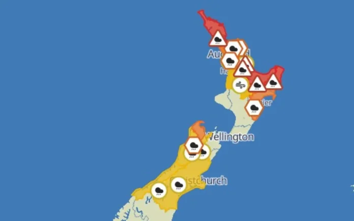
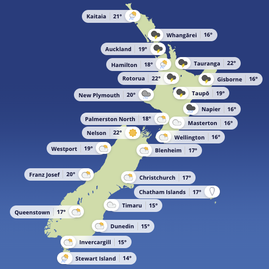
A complex and very active weather pattern is setting up across New Zealand this week, with several lows, fronts, and wind shifts arriving in quick succession. Conditions will vary sharply by region, and boaties should check local updates daily, especially with thunderstorms possible in the Far North overnight.
A front associated with a Tasman Sea low moves across the South Island today and sweeps north early Tuesday. A second low approaches the North Island tomorrow, dragging in humid northerlies and several embedded fronts. A large low then moves across central New Zealand on Wednesday before sliding toward the Chathams. By Friday, a ridge finally brings improving conditions for most.
Here’s what it means on the water.
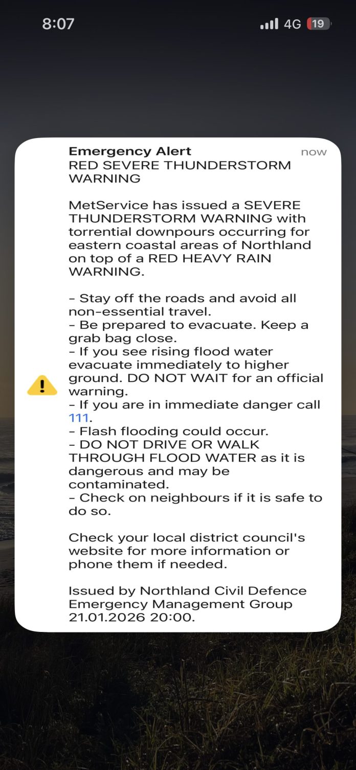
Severe weather risk – Northland
Severe Thunderstorm Watch (Midnight–7am Tuesday)
Northern and eastern areas north of Whangārei are most at risk.
-
Possible downpours 25–40 mm per hour
-
Surface flooding, flash flooding and slips possible
-
Hazardous driving and poor visibility in heavy rain
- Advertisement, article continues below - -
Squally winds possible around thunderstorms
Boaties should treat the overnight conditions with caution and check for updated warnings on Tuesday morning.
Upper North Island – unsettled, humid, and turning wet
Bay of Islands
-
Today: NW 20 knots easing to 15, then variable 5 knots tonight. Mostly fine.
-
Tuesday: Light winds shifting NE then N 15 knots. Showers developing with poor visibility. Thunderstorms possible. NE swell around 1m.
Bream Head to Cape Colville / Hauraki Gulf / Waitematā Harbour
A very similar pattern:
-
Today: Westerlies easing to light conditions overnight. Mostly fine. NE swell generally 0.5–1m.
-
Tuesday: Light early winds, then E 15 rising to NE 20 knots in the afternoon before easing late.
-
Showers developing from morning
-
Poor visibility in rain
-
Moderate seas for a time Tuesday afternoon
-
Coromandel / Bay of Plenty
-
Today: Fine with westerlies easing to variable 5 knots.
-
Tuesday: Light early winds, then NE to N 15 knots.
-
Showers developing from midday
-
Slight seas, NE/E swell around 1m
-
Central North Island Lakes
Rotorua & Taupō
-
Today: Light winds, fine.
-
Tuesday: Light early winds, then NE 10 knots.
-
Showers and possible thunderstorms in the afternoon
-
Visibility will drop quickly around any storm cells
-
Hawke Bay
-
Today: Fine with easterlies easing then westerlies building late.
-
Tuesday: Westerly 15 changing to NE by midday and NW in the evening.
-
Showers developing in the afternoon
-
Western North Island
Kapiti
-
Today: NW 15 knots, slight seas, fine.
-
Tuesday: NW easing to variable winds in the afternoon.
-
Becoming fine
-
Westerly swell 1m
-
Mana
A more energetic pattern here.
-
Today: N 25 knots gusting 35 knots, easing to NW 20 knots tonight. Rough sea easing.
-
Tuesday: NW 20 knots gusting 30 easing to N 10–15 knots. Mainly fine with a morning shower chance.
-
Wednesday: N 10 becoming S 15 knots, rising to SW 25 knots later. Rain easing.
-
Thursday: SW 30 knots easing to S 20. Showers clearing.
-
Friday: S 20 turning N 20 early. Partly cloudy.
A very changeable week for Mana boaties – plan with care.
Wellington Harbour
-
Today: N 25 knots gusting 35 knots, easing tonight.
-
Tuesday: NW 20 gusting 30 easing to N 15, then southerly 10 knots late.
-
Swells: Nil significant for South Coast and Palliser Bay, Easterly 1m for Castlepoint.
Conditions ease on Tuesday afternoon but turn southerly again Tuesday night.
South Island
Christchurch
-
Today: Easterly 15 easing. Chance of a shower.
-
Tuesday: Light early winds becoming NE 15, then SW 15 in the afternoon.
-
Showers or rain developing later
-
-
Swell: NE 1m easing
Wednesday brings more showers as the large low crosses the country before a ridge settles in late week.
Outlook for boaties
-
Best conditions: Friday looks the most settled nationwide as a ridge of high pressure builds.
-
Most challenging:
-
Northland overnight Monday into Tuesday with thunderstorms and downpours.
-
Mana and Wellington today and through midweek with strong winds and repeated shifts.
-
North Island east coast and Gulf regions Tuesday with showers, poor visibility, and rising NE winds.
-
-
Swell: Elevated on the West Coast (up to 3m early). Generally modest elsewhere.


