Boating New Zealand Boat Reviews
Reviews
Boating New Zealand News
News
Boating New Zealand Sports
Sport
Boating New Zealand Lifestyle
Lifestyle
advertise
Boating New Zealand Boat Reviews
Reviews
Boating New Zealand News
News
Boating New Zealand Sports
Sport
Boating New Zealand Lifestyle
Lifestyle
BOAT-REVIEWS-MOBILE
Boat Reviews
BOAT-NEWS-MOBILE
News
BOAT-SPORTS-MOBILE
Sports
BOAT-LIFESTYLE-MOBILE
Lifestyle
HomeLifestyleWeather forecastTake cover! Heavy weather looms as rain, wind and swell bear down

Take cover! Heavy weather looms as rain, wind and swell bear down

Published

We are very proud to partner with MetService to bring you the Weather. See their URL at the bottom of this report, before you go out on the water, check for the latest updates on their site.

Bookmark post
Bookmarked
Bookmark post
Bookmarked
KEYPOINTS
  • Heavy rain and gale-force winds from late Monday into early Wednesday

  • Red Warnings possible for parts of Bay of Plenty and Tasman

  • Large northeast swells affecting North Island’s eastern coastline

  • Prepare now by clearing gutters, staying off roads during peak rain, and avoiding floodwaters

A powerful front moving east across the country is expected to bring significant rainfall and strong north to northeast winds to many regions from late Monday through early Wednesday. MetService has issued multiple Orange Warnings and Watches, and authorities are urging the public to prepare for a period of intense and potentially hazardous weather.

North Island: Heavy Rain, Strong Winds, and the Risk of Red Warnings

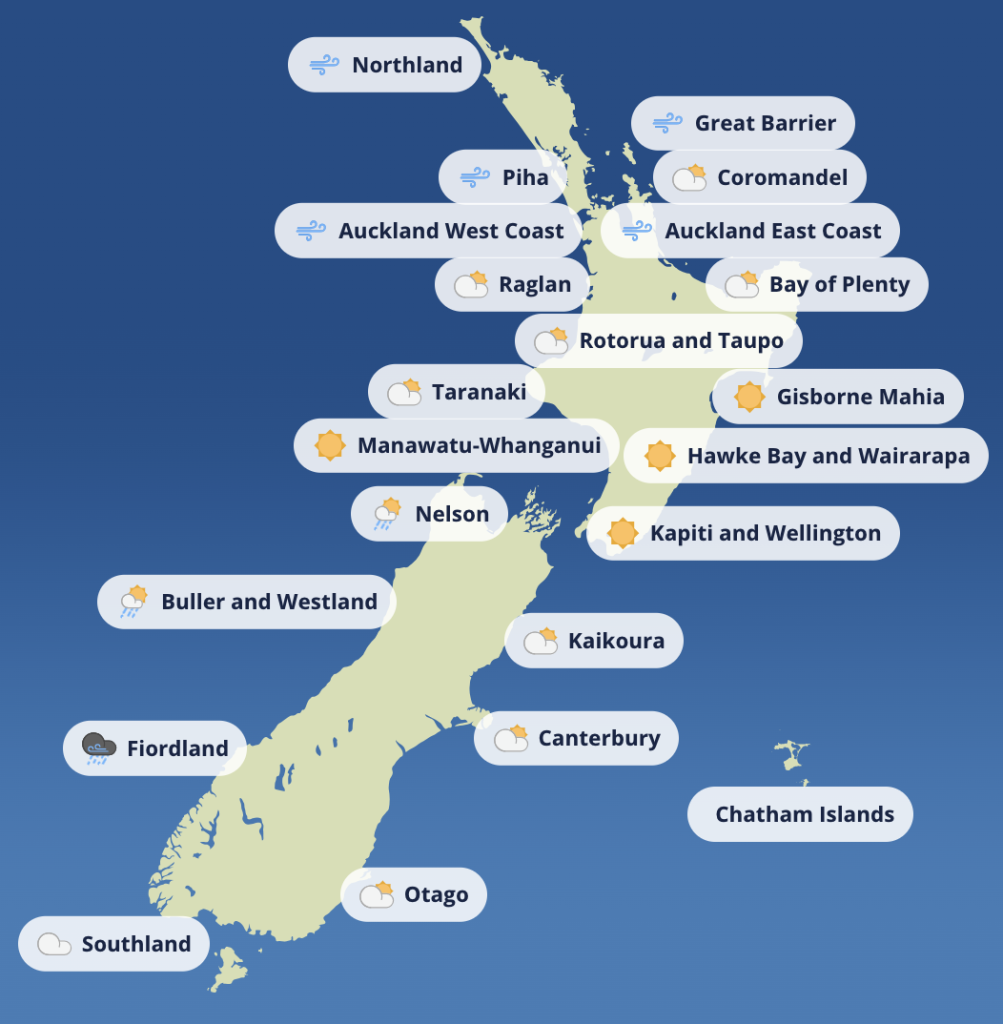
The Bay of Plenty is likely to see the heaviest rainfall totals, with up to 180mm expected between Tuesday morning and early Wednesday. There is a moderate chance that this area may be upgraded to a Red Warning if conditions intensify. Coromandel Peninsula, Taranaki Maunga, and the Central North Island mountains are also under Heavy Rain Warnings, with localised downpours and thunder possible.

In the Northland and Auckland regions, heavy rain Watches are in place, with a risk of downpours peaking late Tuesday morning. Wind Watches are also active, as northeast gales may reach severe strength in exposed areas. Further inland, Waikato, Waitomo, Taupō and Taumarunui could see prolonged heavy rain that approaches warning thresholds.

- Advertisement, article continues below -

The forecast suggests increased river flows, surface flooding, and a heightened risk of slips and difficult driving conditions throughout the upper and central North Island. Drivers are urged to exercise caution, particularly on rural and hilly routes.

South Island: Rain Building Across the Ranges

On the South Island, the heaviest rain is forecast for Tasman, Marlborough, Westland, Otago and Canterbury, especially in the ranges. Areas east and south of Motueka are under particular scrutiny, with a high chance of a Red Warning being issued. Up to 130mm of rain is expected across the Richmond, Gordon, and Bryant Ranges, and the impacts could include flooding, road closures, and potential power outages.

Rainfall totals of up to 180mm are forecast for the Westland ranges, and headwaters of the Canterbury and Otago lakes and rivers, with peak intensities ranging between 20–30 mm/h.

Travel in these areas may become hazardous, especially near river crossings and alpine passes. All residents in affected zones are advised to clear drains, stay updated, and prepare for disruption to transport and communication services.

Coastal Swell and Temperature Shifts

Adding to the hazards, large northeast swells of up to 4.5 metres are forecast for the east coast of the upper North Island, with the most powerful waves expected from Tuesday morning into the evening. Coastal roads, low-lying settlements, and beach accessways may be affected by wave run-up and erosion.

- Advertisement, article continues below -
Coastal weather report

In a notable twist, overnight temperatures will remain unusually warm, particularly in the North Island. Whakatāne is expected to dip to just 13°C overnight, only two degrees cooler than its daytime high on Sunday.

Midweek Outlook: Conditions Ease, But Stay Alert

From Thursday, the worst of the weather is expected to ease as the system moves offshore. However, a deep low developing east of the country may funnel strong southerlies onto the eastern North Island, while another low tracks past the far north. While the risk of further severe weather is currently minimal, MetService advises the public to keep an eye on updated forecasts as the week progresses.

SHARE:

Article
Article

Weather warnings for lower North Island bring heavy swells and strong winds

Weather forecast
Boaties and coastal communities in the lower North Island are being urged to take care, with MetServ...
Article
Article

New Zealand boating weather: a brief reprieve before midweek winds return

Weather forecast
New Zealand boating weather turns unsettled midweek—find out the best spots to boat and which coasts...
Article
Article

Coromandel strong winds: the gusts just kept coming

Incidents at Sea
Boating New Zealand contributor, Kirsten Thomas, tells us of her liveaboard experiences during last ...

Comments

This conversation is moderated by Boating New Zealand. Subscribe to view comments and join the conversation. Choose your plan →

This conversation is moderated by Boating New Zealand.

LEAVE A REPLY

Please enter your comment!
Please enter your name here

Boating New Zealand
Boating New Zealandhttps://www.boatingnz.co.nz
Boating NZ is New Zealand’s premier marine title devoted to putting its readers behind the wheel of the latest trailerboats, yachts and launches to hit the market. It inspires with practical content and cruising adventures, leads the fleet with its racing coverage and is on the pulse of the latest maritime news and innovation.

Omega Trailers

We are trailer experts - we ONLY do trailers! We prioritise quality and innovation so that our custom...

Voyager Trailers

Voyager Boat Trailers have been Manufactured in New Zealand for over 40 years, which means our trailers are built using experience and knowledge to achieve the best boat trailer design. We build Quality Trailers from Start to Finish here in our Hamilton Factory, that means we Fabricate our Chassis here on site AND assemble, we also support NZ industry by using trailer fittings from reputable NZ Suppliers. We can honestly say ‘Proudly NZ Made’. Voyager Boat Trailers have a low centre of gravi...

LATEST NEWS

2005 Ganley Solution 43

The Ganley “Solution” can sail anywhere on our oceans. It has low mileage 72 HP Nissan diesel with 3:1 Borg Warner gear box French oller furler with lots of sails, anchors and batteries plus solar panel, GPS, and depth sounder.

1972 Adams 45

The 1972 Adams 45 Hornpipe is a proven bluewater cruiser built for serious offshore and coastal adventures.