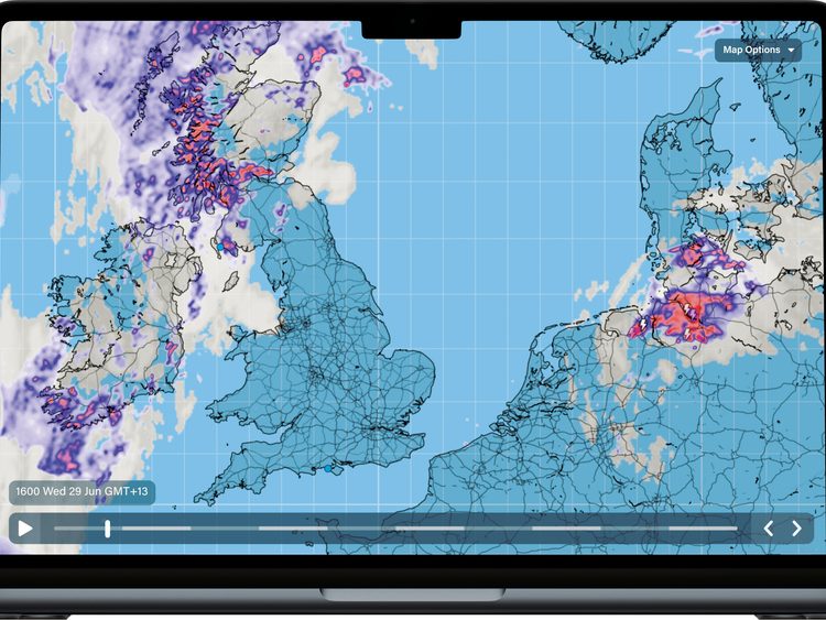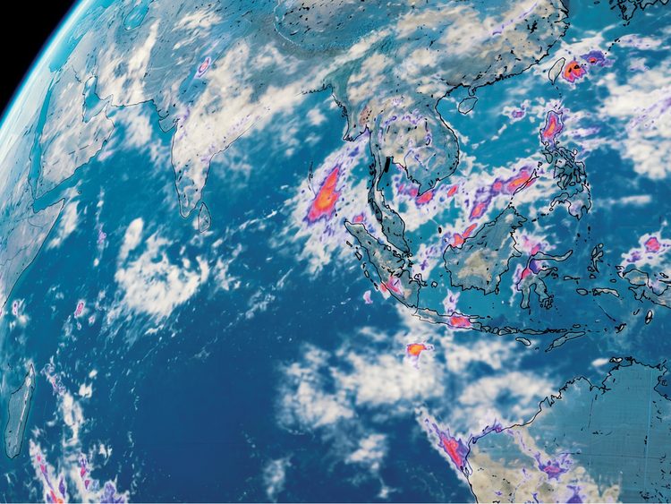
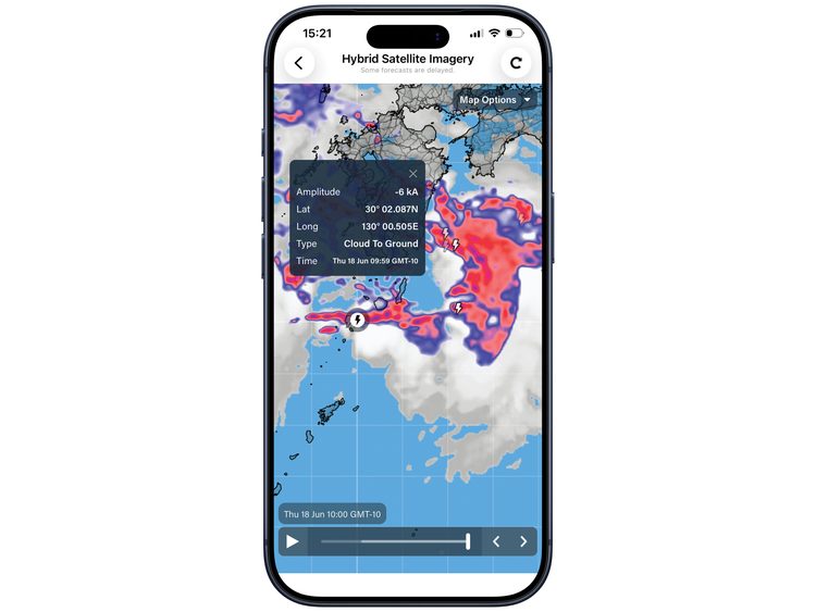
PredictWind has launched Global Rain Radar and Hybrid Satellite Imagery, giving mariners a clearer, real-time view of rain and cloud cover worldwide.
Global Rain Radar tracks rain anywhere in the world, AI Rain Forecasts are updated every 10 minutes for greater accuracy, Hybrid Satellite Imagery provides high-detail cloud coverage, day and night, refreshed every 10 minutes; and Integrated GMDSS alerts allow users to view official safety alerts alongside radar data.
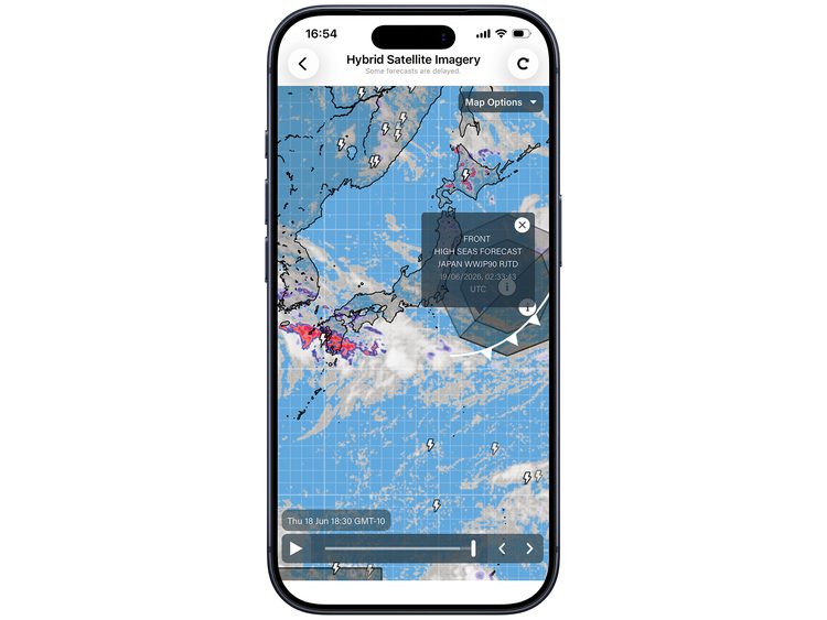
According to Jon Bilger, PredictWind Founder, the update helps mariners make safer, more confident decisions by providing a clearer picture of developing weather conditions.
The features are available now on the PredictWind app and website for Basic subscribers and above. Hybrid Satellite Imagery is also available in the Offshore app.