With two long weekends fast approaching, Bay of Plenty Regional Council staff would like to remind resident and visiting fishers to please remember the rules around the Motiti Protection Area.
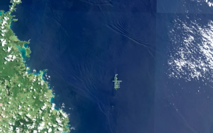
The Motiti Protection Area is made up of three zones, which cover the three main reef systems off the coast of Motiti Island: Ōtaiti (Astrolabe Reef); including Te Papa (Brewis Shoal), Te Porotiti, and Okarapu Reef, Motuhaku Island (Schooner Rocks) and Motunau Island (Plate Island).
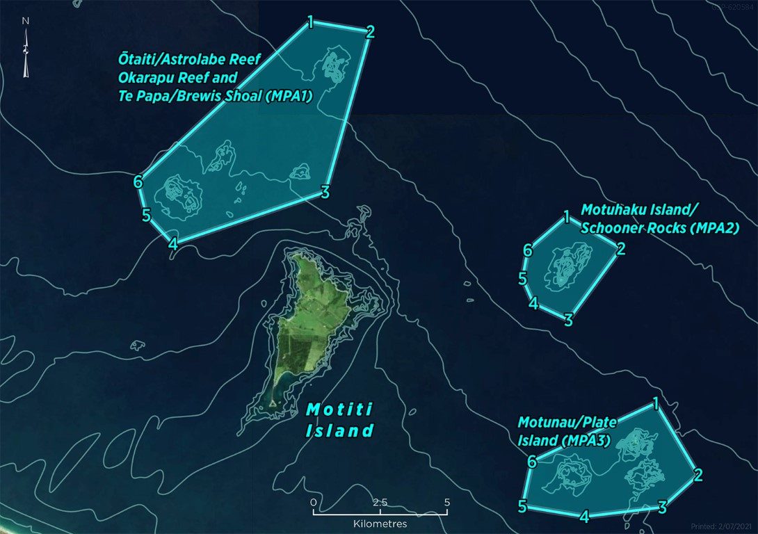
Under the new rules, no-one can take fish, shellfish, or plants from these areas. These rules apply to everyone equally, including customary, recreational and commercial fishers, and divers.

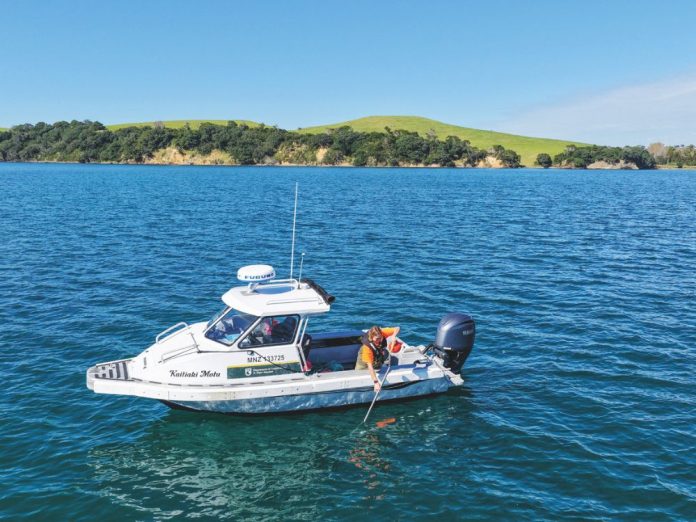
Compliance Manager Alex Miller says compliance and maritime staff will be patrolling in and around the protection area to ensure boaties are following the rules.
“We had a successful season this time last year and all our interactions with boaties were positive. Everyone we spoke to appreciated the information provided from the patrol crew and were happy to comply with the rules.
“If you’re new to the Bay or are unsure where the protection area is, you can find a list of GPS waypoints to view or download on our website.”
The rules were introduced in August 2021 to protect the indigenous biodiversity and acknowledge the significant marine, landscape and cultural values in the area.

Following the introduction of the Motiti Protection Area, Bay of Plenty Regional Council, iwi, and research partners are gathering information to build a picture about the health of the reef habitats and how the protection measures are working.
This monitoring work includes investigations into the fish species and benthic habitats (on the sea floor) within the protection areas (via remote video and scuba diver surveys). This will help inform Bay of Plenty Regional Council about the condition of and biodiversity on the reefs, and how the marine protection is influencing changes over time.
For more information about the protection area, visit the Bay of Plenty Regional Council website: www.boprc.govt.nz/mpa