HomeMagazineBoat WorldMarine scientists build snapshot view of Gulf's ecosystems

Marine scientists build snapshot view of Gulf’s ecosystems

Written by

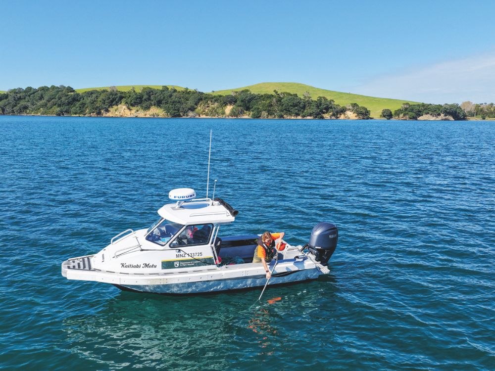
Monitoring is underway across reefs and seafloor in the Hauraki Gulf/Tīkapa Moana during the first year of new marine protections. The Department of Conservation (DOC), working with mana moana and research partners, is surveying habitats inside and outside protected areas to establish
a baseline of marine conditions.

This monitoring supports the Marine Protection Act’s goal of restoring the Gulf’s health and mauri by assessing ecosystem condition, tracking
changes, and evaluating protection measures. The 12 new high-protection areas aim to encourage restoration, such as reseeding shellfish and reducing sea urchins. Surveys focus on key species including reef fish, lobster, scallops and seafloor organisms, using methods like diving, potting, and underwater cameras. Data from this ‘snapshot’ will be reported publicly every five years, with initial findings expected in 2026/27.
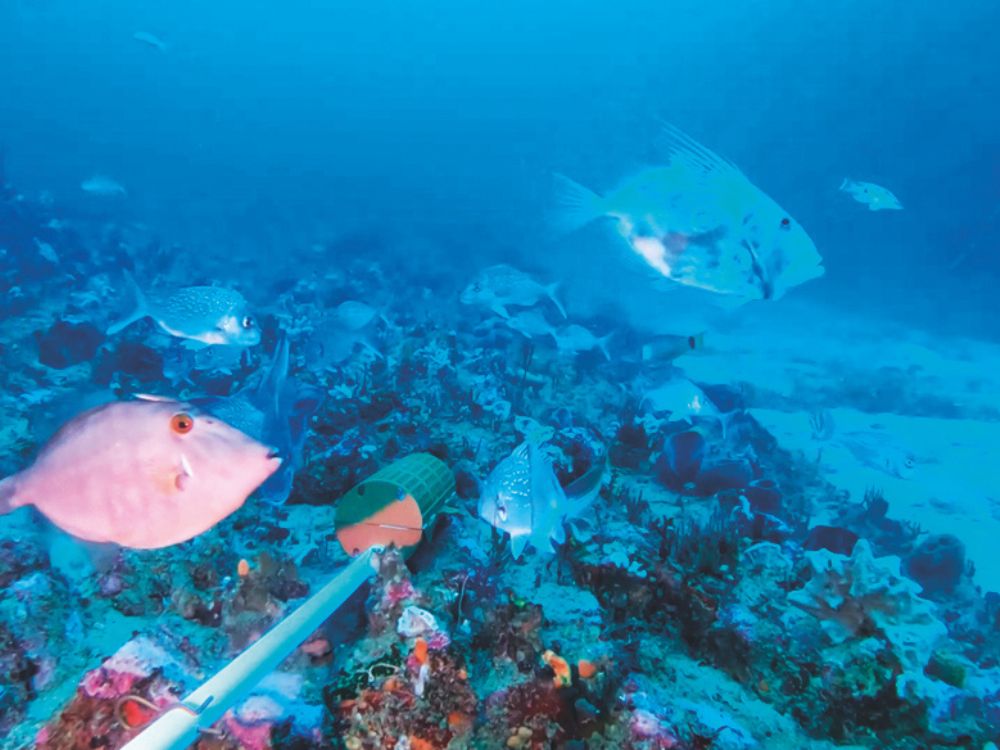
Baited underwater video monitoring in Aldermen Islands Te Ruamahua high protection area. // Supplied

Healthy reefs and shellfish beds provide essential breeding and shelter habitats. Reduced fishing pressure in protected areas supports marine life growth and reproduction, with compliance from fishers contributing to ecosystem recovery.
www.doc.govt.nz/parks-and-recreation/places-to-go/auckland/hauraki-gulf-marine-park/hauraki-gulf-marine-protected-areas

Share this
Render of the new ProtectorE coming soon in partnership with Naut // Image supplied
Boating News

First ever electric ProtectorE coming soon in partnership with Naut

Rayglass and Naut have joined forces to develop the first fully electric Protect...
Read more
An image from Sentinel 2 provided through the Copernicus. // Supplied.
Boating News

Using satellites to monitor for coastal change

Earth Sciences NZ has been using new satellite data to track how coastal areas o...
Read more
Early methods for determining depth included the lead line and long poles. // Supplied
A Very Brief History

A very brief history of… marine depth sounding

Welcome to "A Very Brief History Of..." researching the history of everyday mari...
Read more

Comments

This conversation is moderated by Boating New Zealand. Subscribe to view comments and join the conversation. Choose your plan →

This conversation is moderated by Boating New Zealand.

LEAVE A REPLY

Please enter your comment!
Please enter your name here

Boating New Zealand
Boating New Zealandhttps://www.boatingnz.co.nz
Boating NZ is New Zealand’s premier marine title devoted to putting its readers behind the wheel of the latest trailerboats, yachts and launches to hit the market. It inspires with practical content and cruising adventures, leads the fleet with its racing coverage and is on the pulse of the latest maritime news and innovation.

Recent articles