


Earth Sciences New Zealand and the World Meteorological Organisation (WMO) are both warning that an El Niño event is developing, fuelled by warmer-than-usual waters in the tropical Pacific.
A WMO update issued overnight said there was an 80 percent chance of an official El Niño event emerging during winter, with an even higher probability of that continuing until at least November.
ESNZ’s latest seasonal climate outlook puts the prospect even higher, with a 95 percent chance of El Niño conditions forming over winter.
“Peak El Niño conditions are expected to occur during the austral summer of 2026-27, with the potential for this event to have significant impacts,” the outlook summary said.

El Niño forms when there are higher-than-usual temperatures in the eastern Pacific, causing trade winds to die down. That means clouds form and rain falls on that side of the ocean, rather than closer to Australia and New Zealand.
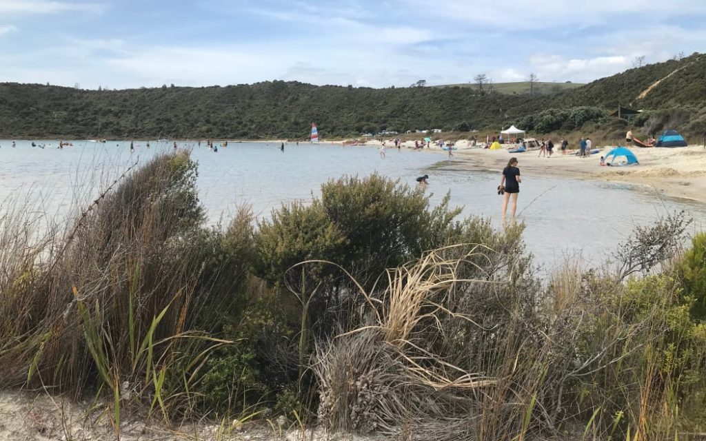
The heavy rain events that brought flooding and landslides to many parts of the North Island at the start of the year would become less frequent over the next few months, ESNZ said.
Instead, “areas hit by heavy rainfall are expected to shift to generally drier-than-usual conditions”.
“The prospect of below-normal winter rainfall in several regions is likely to translate to below-normal groundwater recharge, creating challenges for water-reliant sectors.”
That could also be accompanied by “unusually windy conditions”.
ESNZ principal forecasting scientist Chris Brandolino said El Niño was “well and truly on its way”.
“All the makings for a rather profound and intense event are there as well.”
While every El Niño was different, the general pattern was for wetter conditions in the south-west of the South Island, and drier, windier conditions in most other parts of the country, especially the east and north-east.
That would not be welcome news for places like Canterbury and Hawke’s Bay, which had already had an unusually dry last few months, Brandolino said.
It would likely affect groundwater recharge over winter, which would have flow-on consequences for the growing season.
“One [dry] month, two months, not great – but you can probably deal with it. But you start getting three months, five months, six months, when the rainfall is inadequate [and] then you really start to run into problems,” he said.
“You’re coming off a dry winter and now you’re looking at the prospect of a dry spring or dry summer … and then you throw in really warm temperatures as you get into spring.”
That, together with higher winds and dry conditions, could increase the risk of out-of-season fires or an early start to the fire season, too.

Temperatures during El Niño could be “spiky” he said, and that was set against a background of warming temperatures caused by climate change.
“As we move through spring and summer, there’s a distinct possibility that we could see some pretty hot days.”
He urged people who might be affected by dry conditions – such as farmers, horticulturists, and those reliant on tank water – to think back to previous El Niño conditions or droughts and start making a plan now.
The outlook could still change for the better or worse.
“It’s important for people to stay on top of the forecasts, particularly for those people in a water-reliant sector.”
| This story was first published on rnz.co.nz. Written by: Kate Newton of RNZ |


